

Top 5: long trails in Luxembourg
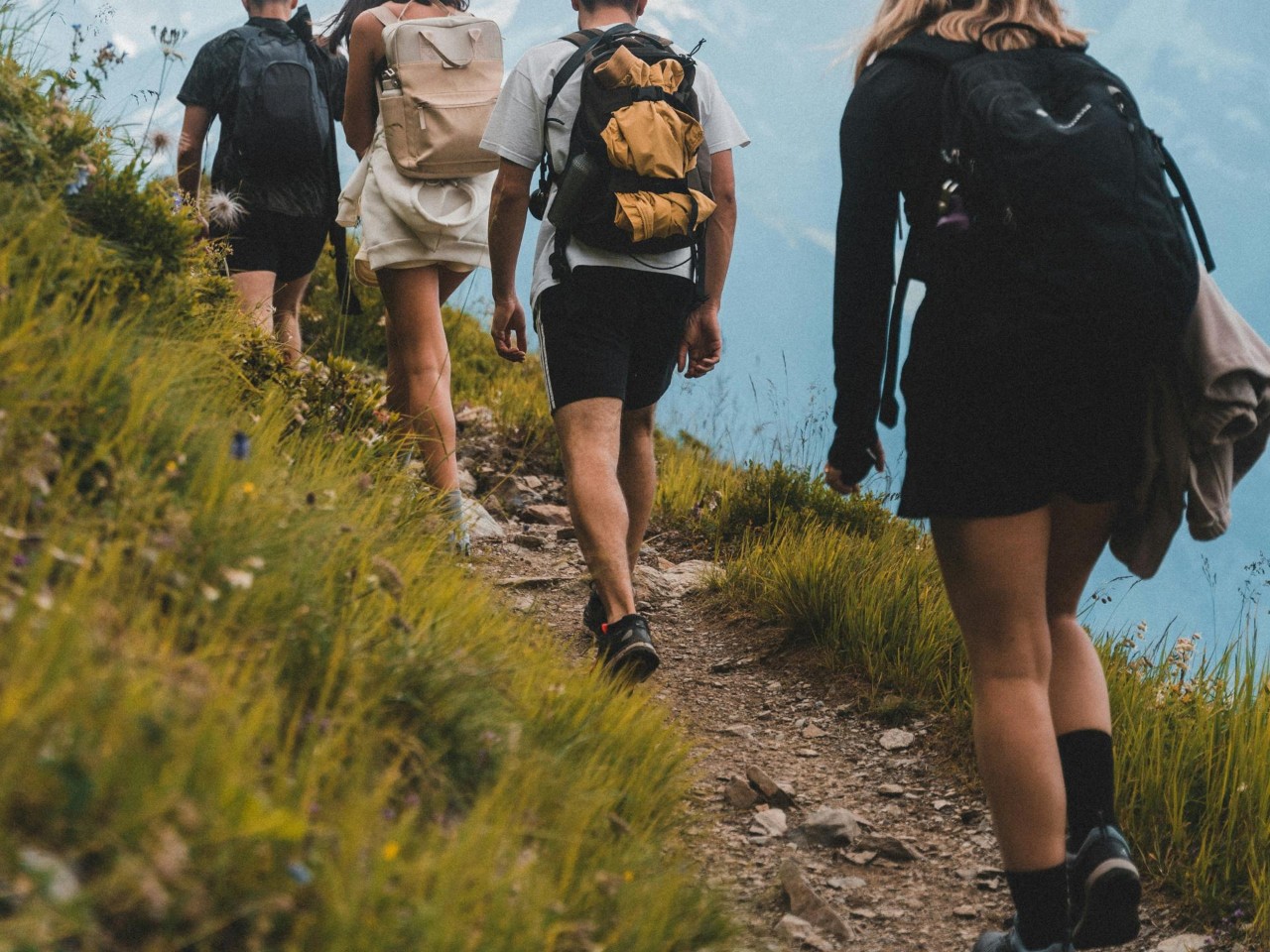
Did you know that every region in Luxembourg can be explored on foot via a long hiking route? The routes follow the same philosophy as other long-distance trails; they are beloved by long-distance walkers and can be used for multi-day or multi-week hiking trips on waymarked paths. So fill your water bottle, pull on your hiking boots and follow us across the country!
Escapardenne Éislek Trail
If you fancy exploring the low mountains of the Ardennes on either side of the Belgium-Luxembourg border, this 106km trail is a fantastic option. The Éislek Trail has been awarded the Leading Quality Trails – Best of Europe certificate by the European Ramblers Association.
The Ardennes region is a delightful combination of wide open spaces and hidden gems: vast meadows, sunken valleys, winding streams and dry stone walls – the art of which is on the national inventory of intangible cultural heritage.
The Escapardenne Éislek Trail is organised into five stages, each around 20km long. The first two stages take place entirely in Luxembourg (Kautenbach-Clervaux-Asselborn); the third stage (Asselborn-Houffalize) passes into Belgium; and stages four and five (Houffalize-Nadrin-La Roche-en-Ardenne) remain in Belgium. Out of a total of 106km, roughly 50km of the trail is in Luxembourg. Waymark 265 on stage 3 indicates the point at which the trail crosses the Belgian border.

The dedicated website presents each stage in detail: the length, positive and negative elevation, difficulty of the trail and points of interest along the way. It also has a list of accommodation either along the route or nearby – providing you with all the information you need to organise your hike in advance!
Mullerthal Trail
The 112km Mullerthal Trail, the top hiking trail in Luxembourg's Little Switzerland, is a great way of experiencing the imposing rocks that characterise the region. The trail has also been awarded the Leading Quality Trails – Best of Europe label.
The route is composed of three loops, each with their own distinct character:
- Mullerthal Trail Route 1: admire the cultural sites in Echternach and the forests, meadows and fields that are typical of the region's landscapes. This loop is 36km long and the difficulty level is medium. It represents approximately 12 hours of walking.
- Mullerthal Trail Route 2: this route takes you through the centre of Luxembourg's Little Switzerland with its spectacular rock formations. The loop is 38km long and the difficulty level is high. It represents approximately 14 hours 30 of walking.
- Mullerthal Trail Route 3: a winning blend of rock formations, valleys and castles. This loop is 38km long and the difficulty level is medium. It represents approximately 12 hours of walking.
The three loops that form the Mullerthal Trail can also be covered in six shorter stages, ranging from 13km, the shortest, to 25km, the most demanding. In any case, expect to spend much of your day walking, between 5 and 9 hours depending on the weather and how well prepared you are.
Do you want to explore the region even further? Then why not try the Mullerthal Trail Extra Tour A, B, C and D.
Advice to help you plan your trip can be found on the Mullerthal Trail website, including suggestions for accommodation in Beaufort, Berdorf and Scheidgen.
Important: Some sections of the trails may be muddy, difficult to pass or damaged, and therefore temporarily diverted. To find out more about the condition of the routes, contact the region's tourist information centres before setting off!


Move, we carry
Do you fancy tackling a multi-day hike but without the hassle of taking your luggage with you? There is a solution: Move, we carry.
This is a luggage transport service for anyone wishing to explore Luxembourg in stages. It is available for individuals – hikers and cyclists – and travel professionals. The luggage is picked up after 10 a.m. from any paid accommodation in Luxembourg and delivered to the next accommodation point by 4 p.m. at the latest on the same day. Hikers and cyclists can set off for the day safe in the knowledge that their luggage is following them at a distance.
Book the service online and make sure you check out the latest information on the Move, we carry website.
National hiking trail: Valley of the Seven Castles
The national hiking trail from Mersch to Koerich takes you through the Eisch Valley and introduces you to the history of the Guttland region through its castles. The trail is 'just' 37km long and is a great opportunity to engage in slow tourism, the region's motto, while still getting out and about in the fresh air.
Experienced hikers will be able to cover the entire trail in a single day. But if you want to take a more relaxed approach to the Valley of the Seven Castles and combine your walk with local history, you can split the route into small stages between the castles:
- Mersch Castle, which dates back to the 13th century. After suffering considerable damage over the centuries, it has been refurbished and now houses the town council offices.
- Schoenfels Castle, with the region's most imposing inhabited keep, standing 21m tall.
- New Castle of Ansembourg, built between 1639 and 1647 by iron industry pioneer Thomas Bidart. The terraced gardens, complete with fountains and sculptures, are a spectacular sight.
- Hollenfels Castle, first mentioned as early as the 11th century, towers over the valley and offers remarkable views.
- Ansembourg Castle, dating from the 12th century, is private and not open to visitors.
- Septfontaines Castle is also from the 12th century and in private ownership.
- The recently renovated Koerich Castle is a good example of a lowland castle.
If you are on the lookout for even more castles, make sure you check out our top 5 walking trails around castles.


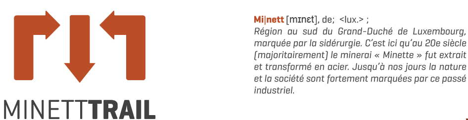
Minett Trail
The Minett Trail offers 90km of fascinating walks through the Land of the Red Rocks, a region whose industrial past has left its mark on nature and society. This regional trail links all the major towns in southern Luxembourg, together with the region's tourist areas and historical sites, in a single route.
The route is divided into eleven stages that you can follow at your own pace depending on the areas you are interested in and your level of fitness. Experienced hikers can join several stages together to cover a daily distance of 20km to 30km.
- Clemency-Pétange: 7.1km
- Pétange-Differdange: 15.7km
- Differdange-Belval/Rédange: 7.9km
- Belval/Rédange-Esch-sur-Alzette: 6.5km
From Esch-sur-Alzette there are two alternative routes: one to Bettembourg (three stages covering a total of 20km) and another to Dudelange (three further stages covering a total of 30km). Download your maps and booklets here!
At the end of each day's walk, treat yourself to a good night's rest in one of the fully renovated quirky hiking lodges (or Kabaisercher) along the trail. Some of the lodges are still being renovated but the region also has plenty of alternative accommodation options.
Interested in finding out more about the cross-border history between France and Luxembourg? Then set out on this cross-border steel-themed circuit to find out just how much the two border regions are closely linked by their industrial past. The 21.5km circular route is medium difficulty and should take walkers around 5 hours 50 minutes.
Moselle3 Trail
The 33km Moselle3 Trail takes visitors through the cross-border region along the Moselle between France, Germany and Luxembourg and explores its shared history: the war years, border shifts, geopolitical conflicts and joint agreements, all of which left a lasting impact on the region and the mindset of local residents.
The trail passes through outstanding natural sites, some of which are listed nature reserves, including Stromberg and Hammelsberg, the chalk grasslands of Montenach and the quartzite outcrops in Sierck-les-Bains.
The trail is in one single stage; the difficulty level is medium because there is a cumulative elevation gain of approximately 960m. The route starts and finishes at the European Museum in Schengen, an iconic town in the region's history known for the agreements named after it.

A little anecdote
In 2021, Luxembourg acquired the boat MS Princesse Marie-Astrid, on which the Schengen Agreement was signed in 1985. The boat had been sailing for some years under the name MS Regensburg, taking tourists on trips down the Danube. The Grand Duchy converted this boat into an exhibition and performance space, and also built a new quay in Schengen. The boat is kept riverworthy and docked in Schengen near the European Museum. It will be able to travel across Europe for special events.
Bonus track: Schengen-Rombach, the Luxembourg section of the E3 European long-distance path
If you are after a more adventurous hiking trail, you might be interested to know that the E3 European long-distance path crosses Luxembourg, from Schengen (Moselle) to Rombach (Guttland), running along the German border for nearly 70km.
The E3 crosses Spain, France, Belgium, Luxembourg, Germany, the Czech Republic, Poland, Slovakia, Hungary, Romania and Bulgaria, covering a total of 6,950km, with around 150km in Luxembourg.
European long-distance paths link European countries from North Cape to Crete and from the Atlantic Ocean to the Carpathian Mountains and the Black Sea. There are 12 E-paths, labelled E1 to E12. They are waymarked and maintained by the European Ramblers Association.

Last update