

Top 5: walking trails around castles

Do you fancy combining a visit to a castle in Luxembourg with a walk in the countryside? Luxembourg has an extensive network of local trails and easy walking routes, many of which are suited to people of all ages and abilities.
From the New Castle of Ansembourg to Hollenfels Castle
The grounds of the New Castle of Ansembourg are a must-see in summer, especially during the Castle Festival, which this year takes place on Sunday 7th August. Once you have finished looking around the gardens, why not take a walk to Hollenfels, just 1.6km away?
And from Hollenfels, you can follow the circular walk, which takes you into the valley of the Eisch, a Belgian-Luxembourg river, to the mouth of the Kalbaach and past Neimillen mill. The circular walk is 9.4km long with a cumulative elevation gain of more than 150m, so we would advise taking it gently.
And while you're in Hollenfels, why not visit its castle too? Perched on a rocky outcrop at 315m above sea level, it has a keep, an angular tower, a curtain wall and a main residence. A stone bridge takes visitors to the castle over the moat. The imposing building now houses the youth hostel and the Melting Pot restaurant.


Exploring the Mullerthal from Beaufort castles
Summer is the perfect season to go to Beaufort because the two castles are open to visitors: the Renaissance castle and the mediaeval castle.
After learning about the history of the castles, if you want to explore the Mullerthal region we would recommend the B14 local hiking trail. This walk will introduce you to some of the rock formations that are typical of Luxembourg's Little Switzerland. The 5.3km trail, with a cumulative elevation gain of 60m, takes you through woodland and past the remains of the former ramparts and the little Klaisgen chapel. This is an easy hike that offers a great introduction to the Natur- & Geopark Mëllerdall.
If you want an even gentler stroll, opt for the B16 local hiking trail, 4.3km long and with just 35m of cumulative elevation gain. The route is almost completely paved and can be walked with a pram.
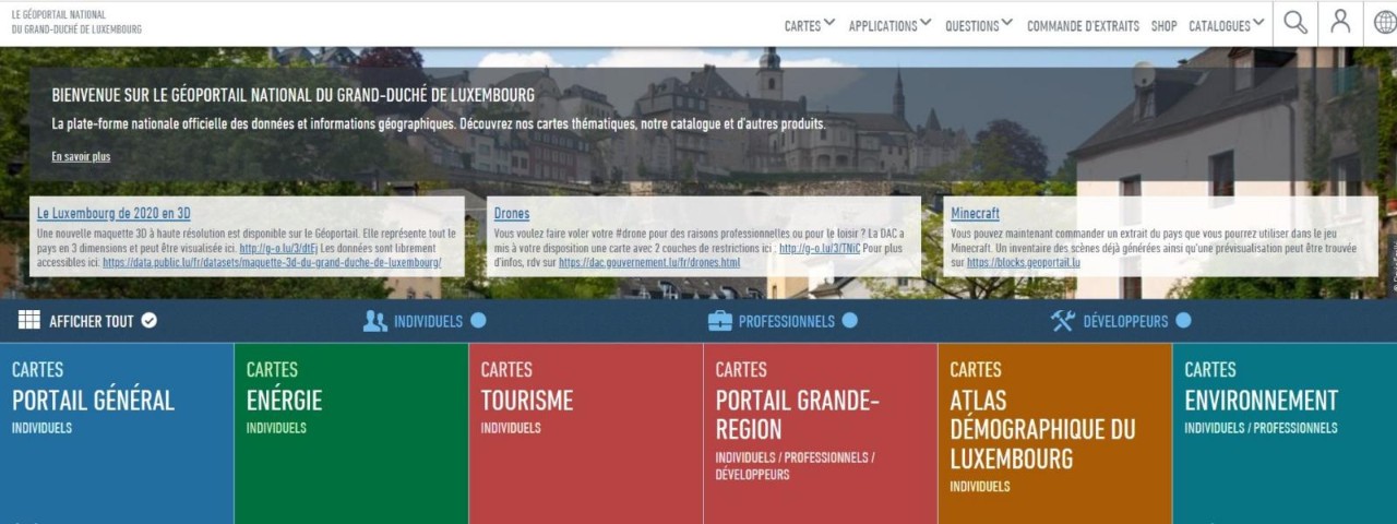
Geoportal, the comprehensive platform for geographical data about Luxembourg
Geoportail.lu is the official platform for geographical data and information about Luxembourg. One of the main aims is to represent the geodata content in the form of maps, with hundreds of layers of data covering a wide variety of different subjects.
The tourism maps are a great tool to prepare hikes: they indicate length and elevation gain and can be exported as CSV, KML and GPX files or even printed. Make sure you check out this fantastic open data tool offered by the Land Registry and Topography Administration!
A riverside walk along the Our from Vianden Castle
Vianden Castle in north-eastern Luxembourg is undoubtedly one of the country's most iconic landmarks. And by taking a walk in the surrounding area you can admire the imposing architecture of this fairytale castle from every angle.
The VI 1 – Vianden trail is an idyllic 5.3km route along the river Our, with a cumulative elevation gain of more than 100m. After walking through the forest, you will join historical footpaths towards the castle, then head down towards the old fortified tower and the current bell tower, the Hockelsturm.
If you're after a more challenging route, though still relatively accessible, you can choose between the VI 2 – Vianden trail (5.86km, 200m cumulative elevation gain) and VI 3 – Vianden trail (9.35km, 400m cumulative elevation gain). Whichever you choose, bear in mind that you are in the Luxembourg Ardennes region, which is generally more hilly than other regions in the country.


Wiltz: from castle to gardens
The northern town of Wiltz is another perfect summer destination – you can visit the castle and also enjoy the festival, which was launched in 1953.
For an enjoyable walk around the town, we would recommend the WI 4 local hiking trail. The 6.5km route takes you from Wiltz Castle to the surrounding woodland. On the way back, Wiltz Garden awaits, a beautiful space that has been artistically landscaped. It may be a short route but there is a cumulative elevation gain of around 200m: we are in the Ardennes, after all!
Koerich, gateway to the Valley of the Seven Castles
Surrounded by towering forests and pastureland, the village of Koerich and its lowland castle are in the centre-west of the country, at the start of the Valley of the Seven Castles.
The Koerich circular walk, 7.9km long with a cumulative elevation gain of around 140m, is full of hidden treasures. The route takes you straight to Fockemillen mill via Härebësch forest. From there, you walk along the river Eisch and the Giewelerbaach stream to Neimillen mill, before heading back to your starting point on the municipal car park near the castle.

Working towards a uniform signage for hiking paths in Luxembourg
Given the growing success of Luxembourg's hiking paths, a series of standards for signage and waymarking are being introduced in the country to meet the needs of tourists and locals alike. The aim is to achieve a comprehensive, continuous system of signposting that is unambiguous and clearly visible, with markings on trees, lamp posts, etc. The standards used correspond to those of the European Ramblers Association (ERA), of which Luxembourg is a founder member.
Last update