

Nature for all: comfort hiking trails
Easy hiking circuits, wide paths designed for pushchairs and wheelchairs, benches situated along the trail so you can have a rest when you feel the need… Luxembourg is making its nature trails more inclusive by creating comfort hiking routes. The footpaths in Bissen, Remich, Echternach, Grevenmacher and Redange-sur-Attert are clearly signposted so that everyone can enjoy outdoor activities and improve their sense of well-being.
Comfort hiking trail Bissen
The comfort hiking trail Bissen is situated in the central area of the Grand Duchy, in the Guttland region. It is an easy route, suitable for the whole family that invites you to discover the landscape and relax in the heart of nature.
From the start of the trail, you'll be completely immersed in the forest as you enter the Bei der Bonnert forest playground. Then, your journey continues through the enchanting Bonnert forest. You'll enjoy a relaxing stroll beside a stream on natural, stabilised paths while certain sections of the pathway are covered with a fine gravel surface. Also, there are plenty of benches along the way if you want to take a break.
The trail has no physical obstacles, but it does have a steeper gradient of 10-18% over a distance of 100 metres. Therefore, wheelchair users should be accompanied.

Practical information
- Departure point: Bei der Bonnert – Playground car park
- Arrival point: Bei der Bonnert – Playground car park
- Distance: 3.08km
- Highest point: 342m
- Lowest point: 291m
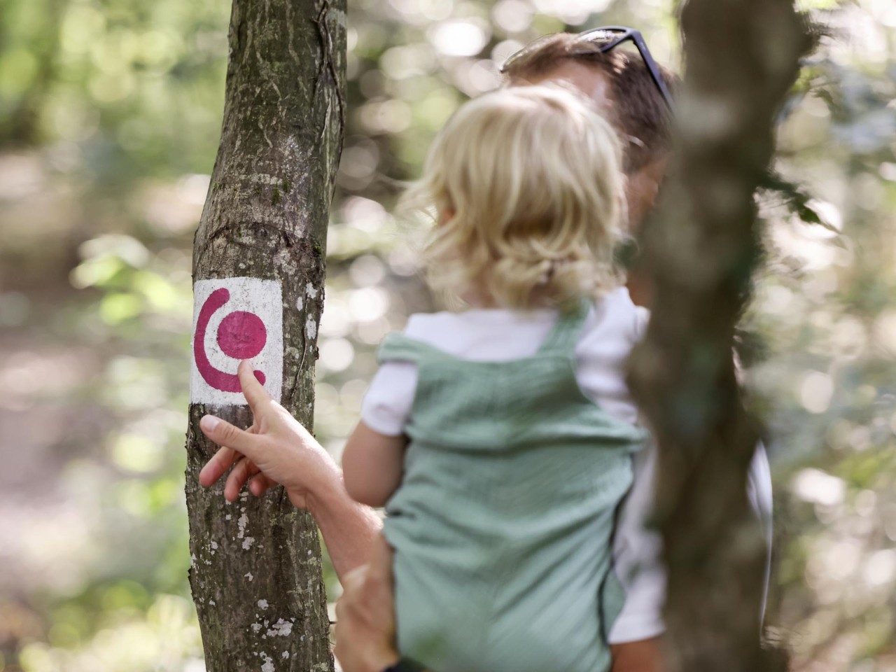
- Signposts: in both directions, with white and pink markings.
Comfort hiking trail Remich
The comfort hiking trail Remich is located in the east of the country in the Moselle region. It is an easy route through the narrow streets of the town, the Jeannot Belling Park and the esplanade, offering views over the Moselle from Remich towards Stadtbredimus. To uncover more of this region, you can also extend the excursion by boarding one of the boats and taking a cruise along the river.
There are plenty of places to sit along the way and the path is not very steep. Therefore, the footpath is suitable for all members of the family, the elderly and people with reduced mobility.

Practical information
- Departure point: Tourist information office in Remich
- Arrival point: Tourist information office in Remich
- Distance: 3.97km
- Highest point: 147m
- Lowest point: 141m
- Signposts: in both directions, with white and pink markings.
- Public car parks in the vicinity: parking is available under the bridge and in the Gréin car park, both areas have parking spaces suitable for people with disabilities.
Comfort hiking trail Echternach Lake
The comfort hiking trail Echternach Lake is located in the central-eastern area of the country, in the Mullerthal region. Surrounded by woodland, the Echternach lake trail is an easy circuit and ideally suited for families.
There are several accessible playgrounds along the route, and there's also a wheelchair swing. In summer, the swimming section of the lake provides the perfect opportunity to cool off. Pedalos and stand-up paddles are also available for hire. The route can be taken in either direction.

Practical information
- Starting point: Echternach youth hostel cark park - trampoline park
- Arrival point: Echternach youth hostel cark park - trampoline park
- Distance: 3.25km
- Highest point: 173m
- Lowest point: 168m
- Signposts: in both directions, with white and pink markings.
Comfort hiking trail Grevenmacher
The comfort hiking trail Grevenmacher is located in the east of the country, in the Moselle region. It's an easy walk along the Moselle promenade leading to one of the residential neighbourhoods outside the fortress wall of Grevenmacher.
The pathway is wide with no slope greater than 10%. This makes it ideal for families, the elderly and people with reduced mobility. On the Moselle promenade there's a playground with a wheelchair swing. The route also passes the Kulturhuef, the Luxembourg's printing and playing card museum, and the butterfly garden.

Practical information
- Departure point: MS Princesse Marie-Astrid car park
- Arrival point: MS Princesse Marie-Astrid car park
- Distance: 3.46km
- Highest point: 142m
- Lowest point: 134m
- Signposts: in both directions, with white and pink markings.
Comfort hiking trail Redange-sur-Attert
The comfort hiking trail Redange-sur-Attert is situated in the central area of the Grand Duchy, in the Guttland region. It is an easy and enjoyable circular trail, ideal for the whole family, through a peaceful forest.
The route has little elevation and starts at the car park of the Redange forest cemetery. It follows wide, flat paths that are easy to walk on thanks to their stabilised surface. The route crosses the Hounig forest and passes by a scenic pond, ideal for relaxing and ideal for relaxing and observing flora and microfauna that inhabit it. The pond has a large wooden boardwalk, accessible via a ramp.
This trail is particularly well-suitable for people with limited mobility. Like the pond boardwalk, a covered wooden shelter is accessible without steps. However, assistance is recommended for wheelchair users.

Practical information
- Departure point: Redange forest cemetery car park
- Arrival point: Redange forest cemetery car park
- Distance: 2.1km
- Highest point: 331m
- Lowest point: 301m
- Signposts: in both directions, with white and pink markings.
Last update